GPS/GIS
CLA Engineers, Inc. provides GPS and GIS field data collection services for municipalities, utility companies and institutions.
We utilize current versions of ESRI ARC MAP and AutoCAD software to deliver network information based on the needs of the client.

GPS Services
Included in this service are the field location of designated object types and the collection of specific object information to be transferred to the digital database.
CLA Engineers understand the importance of identifying specific client needs at the start of the project and the creation of detailed data fields to accommodate the needs of the end users. It is our experience that coordination of this type at the beginning of a project ensures the thorough and efficient collection of project data and results in all relevant information being transferred to the database.
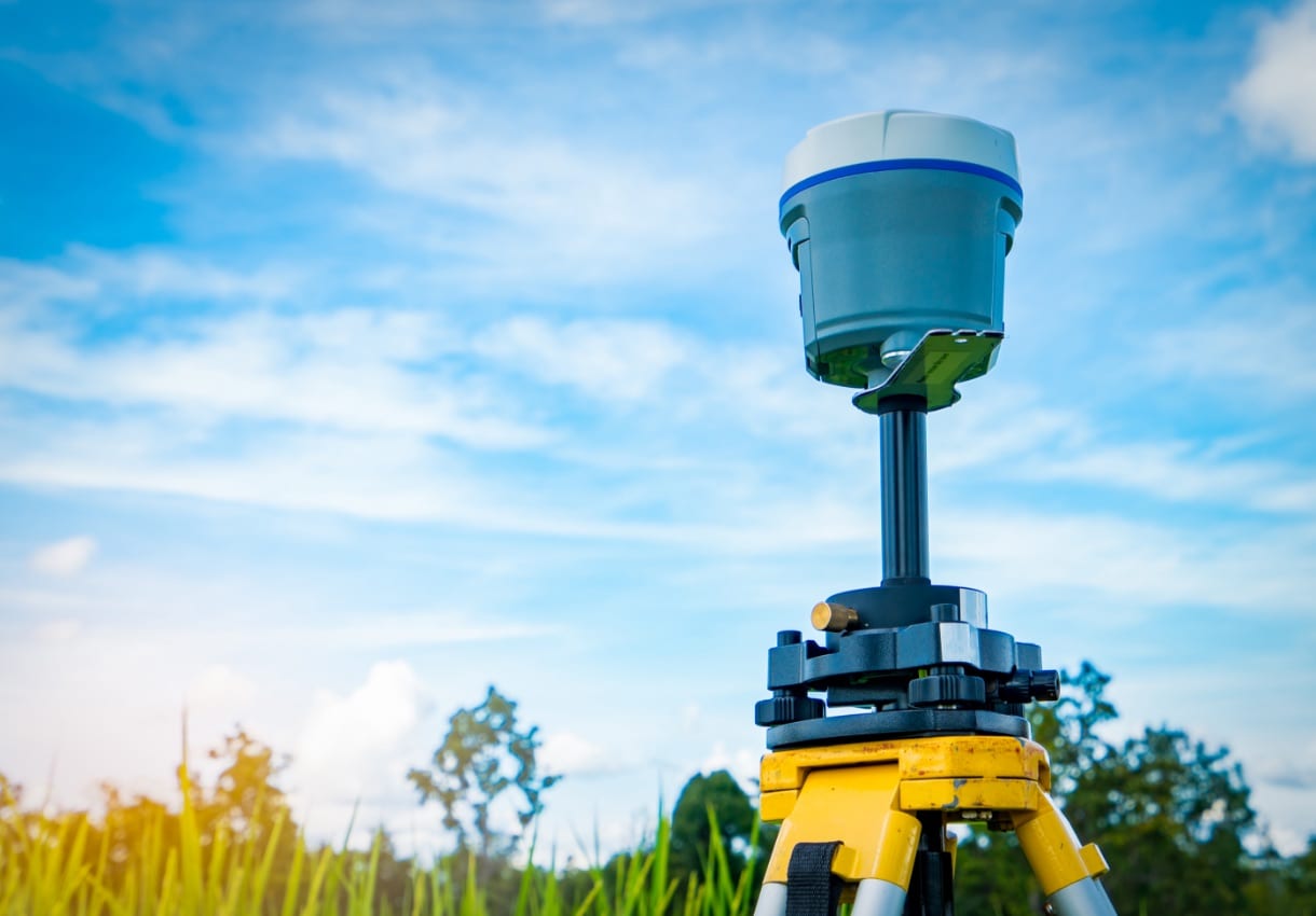
Currently CLA utilizes Leica surveying systems and various types of hand held units to collect data. Following post processing these units are capable of submeter accuracy.

GIS Services
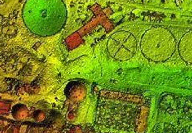
CLA Engineers, Inc. provides Geographical Information System consulting for municipalities, utility companies and institutions. Currently these services include mapping and the creation of databases associated with drainage systems and utility infrastructure using GPS field data, map digitizing and record research.

