Land Surveying/Subdivisions
CLA provides complete land surveying services for municipal, industrial, commercial, residential and utility clients
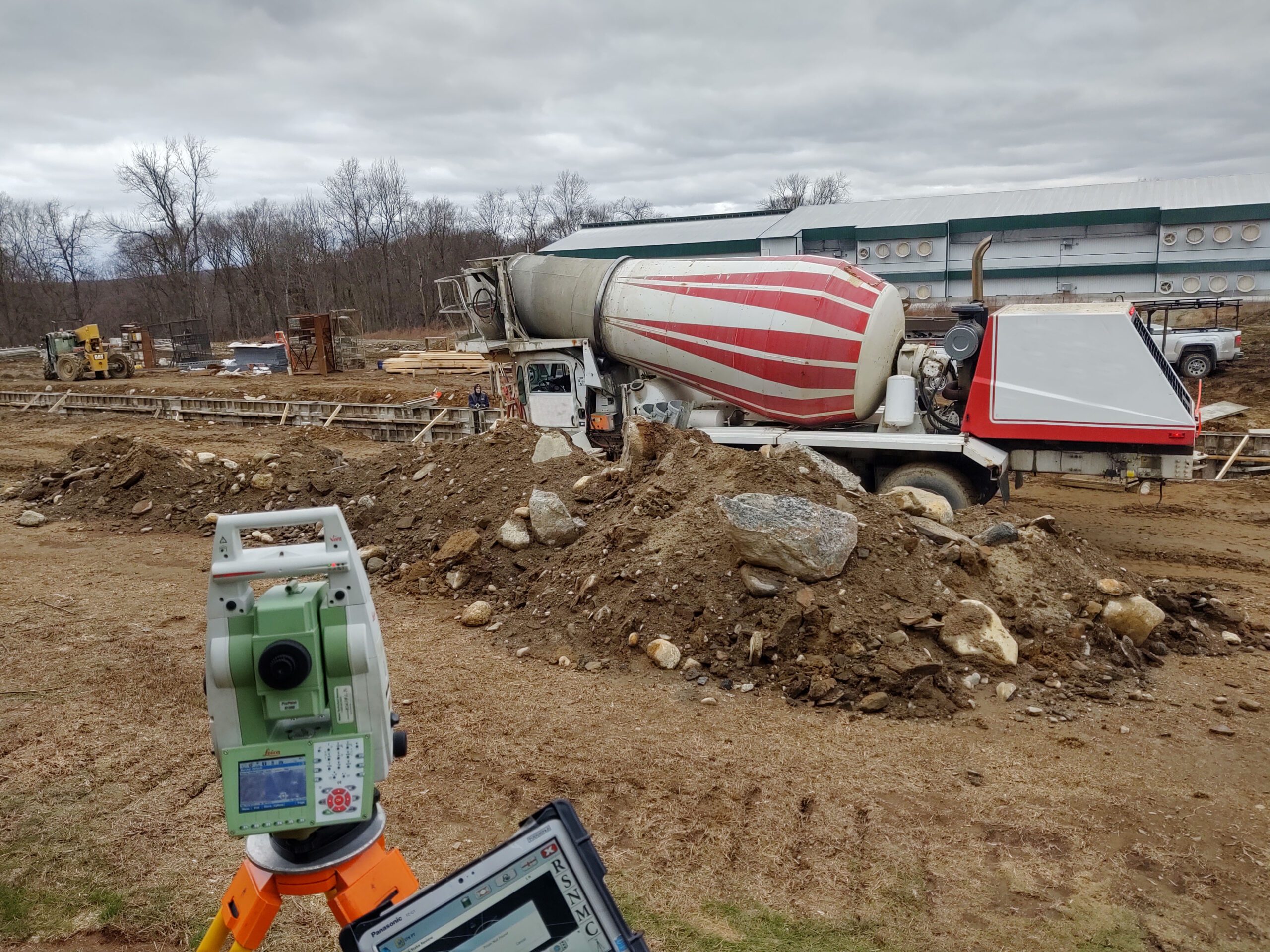
Licensed surveyors are on staff with more than 25 years of experience in all aspects of land surveying. Field crews at CLA utilize advanced technology including robotic total stations, RTN GPS, drones, and sonar to perform terrestrial and bathymetric surveys. The survey department’s office software includes Autodesk Civil 3d, Agisoft Photoscan and Carlson Survey. This data is shared with the other departments, and provides the basis for our engineering products.

- ALTA Surveys for individual and corporate clients
- As-built surveys
- Construction Stake-out
- Property Surveys
- Subdivision Plans for Residential, Commercial, and Industrial Land Development Projects
- Topographic Surveys
- FEMA (Flood) Elevation Certificates
- Elevation Certifications

- Zoning Variances/Compliance Plans
- Hydrographic Surveys
- GPS Location Surveys
- Photogrammetric Surveys
- Wetlands Mapping
- Utility Mapping
- Right of Way Mapping
- Land Title Research & Court Testimony
Learn More About How Our Team
Can Help You.
Please contact:
Email: Ryan Cheverie, L.S.